Rapid Extractive Assessment in Namibia
Using WWF-SIGHT data and analysis, this study attempts to illustrate the potential impact of the extractive sector over protected areas in Namibia by analysing the latest spatial datasets on extractive concessions (mining, oil and gas) over Namibia’s extensive protected area network, which includes IUCN categorised protected areas I-IV, marine protected areas, World Heritage Sites and communal conservancies.
Interactive map of Namibia (Click on top left of the map for more info)
Conservation and development in Namibia
Namibia has a vast protected area network consisting of over 20 national parks and game, recreation and nature reserves. As a result, roughly 17% of Namibia is formally protected, with most the protected estate encompassing the coastal desert areas. Furthermore there are 82 registered communal conservancies and 32 registered community forests in Namibia and one community association in a national park, covering 165,182 km2. At the same, the Namibian economy is heavily dependent on its extractive sector, mainly on its mining sector and to a lesser extent, on its oil and gas sector. The mining industry contributed on average 11% per annum of national GDP from 1990 to 2011, and provides more than 50% of foreign exchange earnings, with the country’s 165 active mining companies employing approximately 1.8% of the population.
The Rapid Extractive Assessment (REA)
The goal of this study is to build knowledge and highlight the potential environmental issues related to the extractive sector in Namibia so that civil society organisations, government, private companies and investors can discuss and collaborate to find ways to mitigate these potential impacts and set this within a policy and practice context.
Some key results
In total 87 out of 146 (~59%) of Namibia protected areas were overlapped by one or multiple mining concessions, where a total of 217 active mining claims created 368 overlap events. The total area mining claims overlap is 61767.92 Sq. Km of which the majority, 49 587 Sq. Km (~80%), is issued under Exclusive Prospecting Licences. The analysis revealed 154 unique holders of mining concessions which significantly overlap Namibia’s protected areas. No attempt has been made to trace the ownership of holders identified, subsequently many holders identified may be subsidiaries of larger parent organisations and as such the ranking provided below may not be a true indication of the most significant holders.
In total 48 out of 146 (~33%) of Namibia protected areas were overlapped by one or multiple oil and gas concessions, where a total of 22 active oil and gas concessions created 62 overlap events. The total area oil and gas concessions overlapped is 33185.93 Sq. Km of which the majority, 24 901 Sq. Km (~75%), is issued under Exploration Concessions . The analysis revealed 13 unique holders of oil and gas concessions which significantly overlap Namibia’s protected areas. No attempt has been made to trace the ownership of holders identified, subsequently many holders identified may be subsidiaries of larger parent organisations and as such the ranking provided below may not be a true indication of the most significant holders.
This study has demonstrated, through the large number of overlaps between extractive activity and protected areas, that the existing legislation implemented by the Namibian government to regulate prospecting and mining activity in Namibia is not providing the protection the environment needs. Where 16.81% of Namibia’s protected area network is overlapped by mining concessions, while over half of its protected areas are overlapped to some extent by a mining concession. This overlap appears to impact all designations including flagship international sites where the World Heritage Site Namib Sand Sea, which includes a large number of endemic plant and animal species of global importance , is overlapped by four mining concessions covering 1326.52 Sq. km. Despite oil and gas remaining it in infancy, exploration still is licenced across 9.2% of Namibia’s protected areas.
For more information contact Samson Mulonga <smulonga@wwf.na>
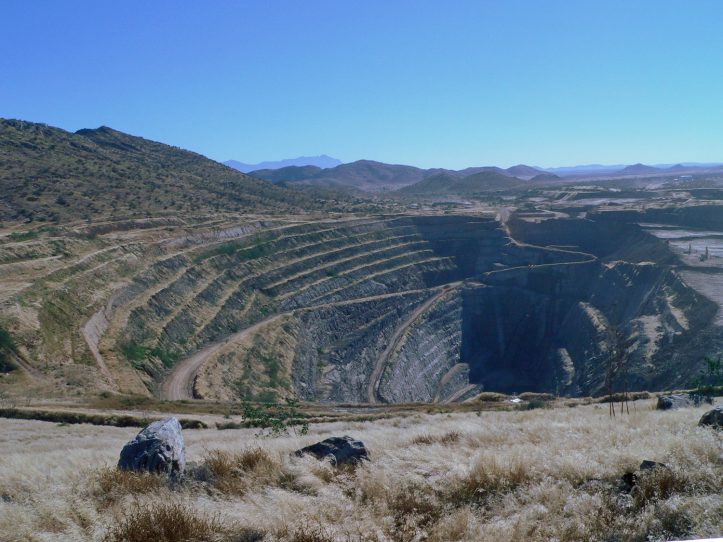
The Navachab Open Pit Gold Mine, Erongo Region, Namibia