Promoting spatial transparency and developing the National Spatial Data Infrastructure index
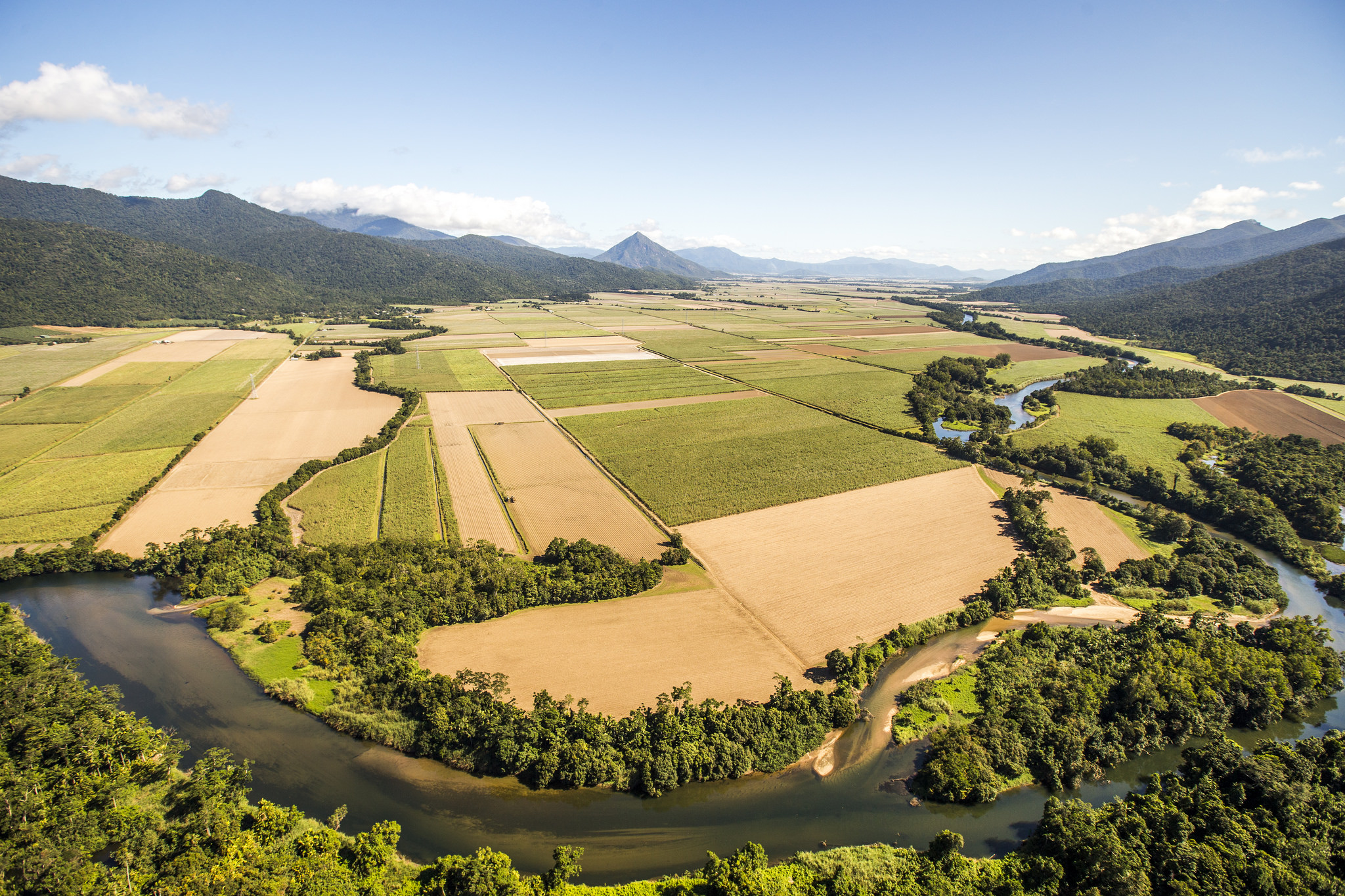
During the development of WWF-SIGHT and the search for essential environmental and development spatial data it became quickly apparent that access to spatial data is not necessarily a given. This is particularly the case for open access to spatial data on forestry, agricultural or mining and oil and gas concessions. However, the access and transparency around such data is fundamental in working out how to allocate and prioritise land-use for housing, agriculture, industrial activity, ecosystem services and nature conservation. Access to such data and the ability to integrate and analyse it, is essential to achieving and monitoring progress towards the SDGs. However, this requires transparency and a National Spatial Data Infrastructure (NSDI).
What is NSDI and why is it important?
Put simply, a NSDI is a framework of technologies, policies, and institutional arrangements that facilitates and enables the creation, exchange, and use of geospatial data between sectors and other stakeholders.
A National Spatial Data Infrastructure (NSDI) is a prerequisite for integrated land use planning and coordination among sectors more generally. In the absence of a NSDI, a lack of spatial transparency exist and ministries tend to develop sector plans without references to standardise spatial data generated by other agencies. This creates uncertainty over resource use and ownership, leading to conflict and sub-optimal development and investment outcomes. Whilst such uncertainty may benefit actors among political and bureaucratic elites (e.g. through rent-seeking practices) it propagates poverty and environmental degradation while undermining investment, innovation, and democracy.
Surprisingly, comparative knowledge on the quality of different country’s NSDIs is lacking. In response, work conducted by Oxford University, University of Leuven and WWF-UK has been aiming to address that by conceptualising, designing and – soon – testing an NSDI index and the feasibility to benchmark the state of NSDIs globally. The Global Spatial Data Infrastructure Association (GSDI) has endorsed these efforts and aims to support global benchmarking through its members.
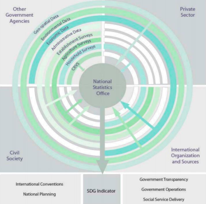
Spatial data can be seen as an encompassing data-type that underpins the SDG indicators
More information, see the download section