WWF-Analytics – Global Protected Areas now live!
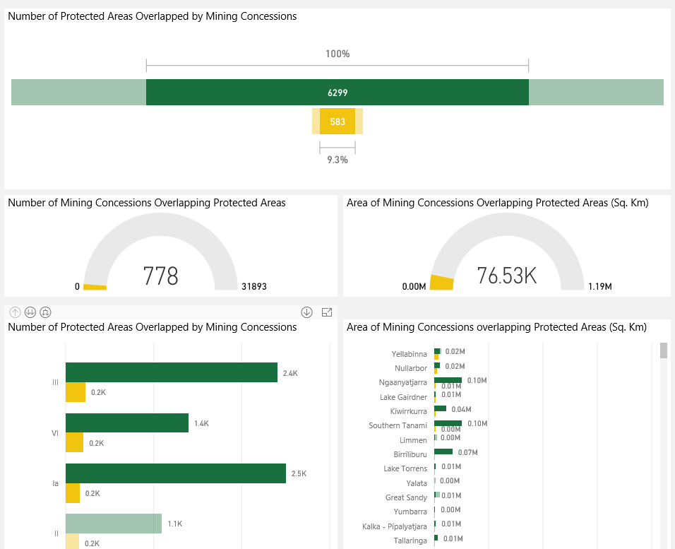
We are pleased to announce that an example of WWF-Analytics, the new interactive data tool using WWF-SIGHT data, is now live. The example displays online the interplay between extractive concessions and protected areas at a country level, allowing users to consider existing overlaps in an accessible and visual way.
What new insights can be discovered using WWF-Analytics
The new assessment provides significant insights into the scale of extractive concessions within countries’ protected area networks. For example:
- Australia has a huge protected area network but it has also licensed a large area of its protected areas to extractive activity: an area roughly the size of the UK. Indeed, out of the 1460 active oil and gas concessions, WWF-Analytics identified over a third of these overlap with at least one protected area.
- Over a quarter of Botswana’s protected area network is overlapped by active mining concessions, covering an area larger than the Netherlands (45,646 Sq Km).
- Brazil has a considerable issue with mining concessions; an area the size of Czech Republic has been licensed to active mining concessions within its protected area network (78,322 Sq Km). It is also possible to analyse which types of protected areas are most affected. For example, protected areas governed by sub-national ministries are most frequently overlapped (284 out of 891 protected areas, or 31.9%) protected areas, while those governed by indigenous people are least affected (24 out of 499 protected areas, or 4.8%).
- Over a third of Zambia’s protected area network is overlapped by oil and gas concessions, covering an area of 90,015 Sq Km. The assessment found 30% protected areas (160 out of 518) are overlapped by oil and gas concessions. Out of Zambia’s 17 national parks, nearly 50% are overlapped by at least one oil and gas concession.
- 13.45% of Argentina protected area network is overlapped by mining concessions, overlapping 44,802 Sq Km. Out of the 381 protected areas assessed, 63 (16.5%) are overlapped by at least one active mining concession. Out of 22 Ramsar sites assessed, six sites are overlapped by 455 mining concessions.
Interpreting the data from WWF-Analytics
While these statistics are alarming, it’s important for users of WWF-SIGHT to keep in mind that not all the data from a tool as encompassing and global as WWF-Analytics cannot be taken at pure face value. For example, countries have different protected area networks and the size of a country’s extractive concessions overlap must be taken in context.
With this in mind, there are a number of limitations to the assessment as it stands currently that must be outlined in order for users to fully understand these statistics and use them appropriately in further analysis and data presentation. Some of these are outlined below.
- The most important factor is that, whilst only ‘significant’ overlap is reported, it does not necessarily mean that the extractive concessions will be ultimately developed, or that the extractive activity will impact the protected area. Confusing the issue, some protected areas may be designated as ‘multiple use areas’ potentially allowing for extractive activity. However, in the vast majority of cases, overlap does represent a clear and present threat to the sites and highlighting to what extent governments place a low priority on the protection of their country’s natural assets.
- The WWF-Analytics assessment compares three global datasets of differing coverage and consistency. For example, it considers overlap against the World Database on Protected Areas, but not all protected areas are spatially defined within the dataset. As a result, undefined protected areas could not be included in the assessment – meaning the results of those countries with more poorly defined protected areas may be an underrepresentation of the extent of extractive concessions overlap. At its extreme, some countries such as Libya, Moldova, and Syria have no protected areas spatially defined, and subsequently have had to be excluded from the assessment.
- Within the extractive datasets there are inconsistencies in the terminology applied across different countries. In regards to the status of mining concessions, ‘granted’ or ‘application’ appear to be terms that are fairly consistently applied. However, there are exceptions; for instance, Ecuador lists almost all of its mining concessions under ‘application’. Since the assessment excludes all concessions under application, this potentially creates a misleading impression of the extent of overlap within Ecuador. Subsequently, the approach of filtering data – which on average across the dataset is not significant – may in some specific instances lead to biasing of the results, excluding relevant values as with Ecuador or potentially including values which are insignificant.
- Another issue to consider is the presentation of ‘true’ area statistics defining the total area of protected areas and the overlap with mining and oil and gas concessions. These figures were developed to remove the duplication within the protected area dataset, where multiple protected areas can exist within the same spatial area, creating the misleading impression that the area covered by protected areas and an overlap is larger than it is on the ground. Due to the necessity of the methodology applied where the layers were dissolved into one block, it was not possible to exclude marginal spatial overlap of individual concessions (less than 1 Sq. km) and oil and gas concessions (overlaps of less than 5 Sq. Km). This is inconsistent with the overlap statistics reported which exclude these values.
- Finally, the extractive datasets available to the assessment do not provide global coverage; they only report territories for which coverage was available.
If users are able to take these limitations into account valuable insights can be gained from the data provided. For a more detailed review of the limitations facing the assessment please see the methodology.