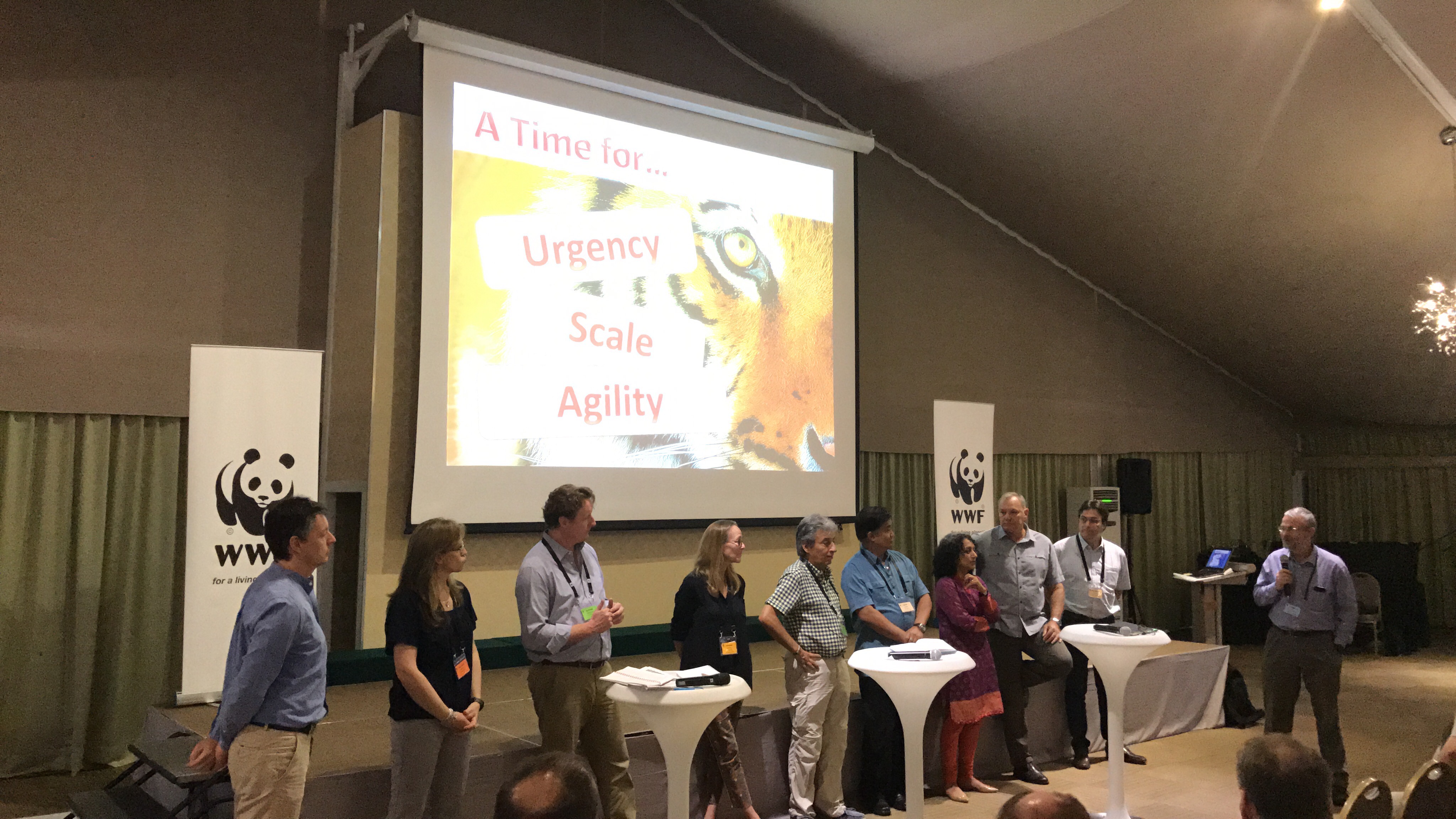
WWF-SIGHT presented at the WWF Global conservation Directors Forum 2017

During a side event at the Global Conservation Directors Forum in Malaysia in February 2017, the need for better awareness and use of spatial data in our work, and WWF SIGHT as an example of this, was presented and discussed with approximately 25 participants.
The presentation addressed the challenge but also the opportunity posed by use of better spatial data by WWF, from the field operations level to world of investors, and everything in between. WWF SIGHT, an approach to integrating spatial data to guide land use planning, policy and investments, launched to the network in February ‘17, was then presented. This included examples of SIGHT’s application, ranging from assisting in an overlap analysis between protected areas and mining/extractives in the Selous in Tanzania and an oil and gas scoping study in the Northern Mozambique Channel, to assisting in an assessment of the Norwegian pension fund (the world’s largest sovereign wealth fund) investment in companies whose activities overlap with World Heritage Sites.
While there was initially some scepticism to another GIS tool, most of this scepticism seemed to have petered away by the end of the session, with participants stating what an excellent tool this was. Questions ranged from the very detailed, e.g. what resolution of satellite maps are available, to how does SIGHT differ/compare with other tools that already exist.
While the WWF network needs to continue its efforts to improve the availability of spatial data, this data will only ever be useful when we put it into Practice. As such please see the SIGHT website here, get registered and start using.